
27/03/24
Look who’s arrived in our Early Years classrooms! pic.twitter.com/NtxG5HTGCI
follow us @hpappeckhampark

27/03/24
HPAPP Iftar Night- thank you Karen and Rachel from Chartwells pic.twitter.com/uWIbrdQjE3
follow us @hpappeckhampark

23/03/24
HPAPP’s Iftar 2024 #Ramadan2024 #Iftar #ISLAM pic.twitter.com/64Ms5E4D9r
follow us @hpappeckhampark

22/03/24
Our amazing parent calling the adhan, signifying the moment for us to break our fast! pic.twitter.com/Z66ywCwhYe
follow us @hpappeckhampark

22/03/24
HPAPP hosted Iftar today and what a beautiful event it was! pic.twitter.com/HyMrQfkJJG
follow us @hpappeckhampark

19/03/24
Representing HPAPP at the Bowling competition against other schools! pic.twitter.com/5EOWa6x9Ay
follow us @hpappeckhampark

15/03/24
Our very own Marie Curie 👩🏾🔬 #ScienceWeek pic.twitter.com/TRMa8kDo64
follow us @hpappeckhampark


15/03/24
Celebrating the end of Science Week by dressing up as scientists #ScienceWeek pic.twitter.com/1aelXzkhxQ
follow us @hpappeckhampark

14/03/24
Watch out water clock in action #ScienceWeek pic.twitter.com/hO82P5uklD
follow us @hpappeckhampark

14/03/24
Year 6 making a water clock #ScienceWeek #Time pic.twitter.com/6Ek46CEUa2
follow us @hpappeckhampark

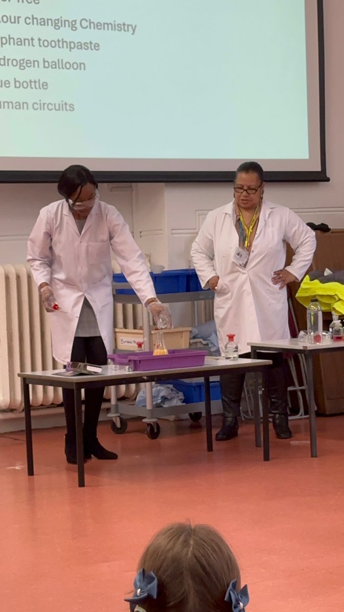
13/03/24
Thank you @PeckhamAcademy for a lovely Science Week assembly #ScienceWeek pic.twitter.com/B76ShOy7aZ
follow us @hpappeckhampark

07/03/24
Happy World Book Day! An exciting start to an exciting day filled with fun and plenty of books and reading! pic.twitter.com/MQPRRed0EA
follow us @hpappeckhampark

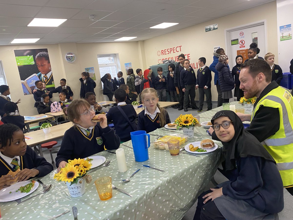
07/03/24
Congratulations for being chosen for our Special Table- you have shown great dining room and table manners pic.twitter.com/WCA8qADO4l
follow us @hpappeckhampark

07/03/24
Thank you parents for attending our Culture for Learning workshop- you can look at the full policy on our website pic.twitter.com/oDddTMXOIM
follow us @hpappeckhampark

07/03/24
Thank you Lunchtime Leaders- you are great Peckham Park Citizens! pic.twitter.com/8CQEKa2omv
follow us @hpappeckhampark

07/03/24
In Year One we use Communication in Print to help us write. pic.twitter.com/HK4Zv2r3RH
follow us @hpappeckhampark